


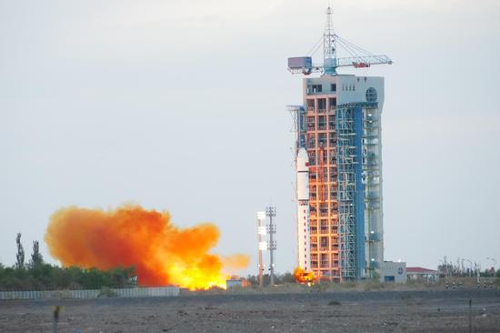
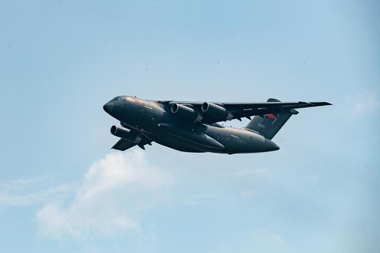
A modified Wing Loong 2 drone on Saturday. (Photo/CHINA DAILY)
China has started to explore using drones to observe and measure weather on its plateaus, according to the Aviation Industry Corp of China, the nation's leading aviation enterprise.
In the first step of an experimental project organized by the China Meteorological Administration, a modified Wing Loong 2 drone was used to carry out a meteorological observation test on Saturday, AVIC said in a news release on Monday.
The drone is a civilian variant of the Wing Loong 2 combat drone developed and built by AVIC Chengdu Unmanned Aerial Vehicle System.
It took off on Saturday morning from Aba Hongyuan Airport in the Aba Tibetan and Qiang autonomous prefecture in Sichuan province, and soon flew to the Aemye Ma-chhen Range in the southeastern part of Qinghai province.
At an altitude of 7,500 meters, the drone released 12 dropsondes-a type of expendable weather reconnaissance device.
Data obtained by the dropsondes as well as the synthetic aperture radar and the atmospheric microwave profiler mounted on the drone recorded meteorological elements like cloud distribution, moisture and wind field, according to AVIC.
The data will provide crucial scientific information to researchers and help them to improve the accuracy of weather forecasting for southwestern China and also strengthen the readiness for weather-related disasters, the company noted.
It is the first time a large drone has been used in China to perform meteorological operations in plateau regions, AVIC said.
Xu Xiangde, a member of the Chinese Academy of Engineering and chief adviser on the experimental project, said that the Qinghai-Tibet Plateau has a considerable influence on climate change in China and East Asia and even across the globe, but due to the difficulties in establishing and running meteorological posts there, a great deal of key information such as the vertical structure of the atmosphere is absent.
The deployment of large high-altitude drones will enable researchers to close the gap and gain more knowledge about local meteorological elements and will also help in policymaking on water resources and environmental protection on the Qinghai-Tibet Plateau, he explained.
Li Liangxu, director of the China Meteorological Administration's Meteorological Observation Center, said the center will arrange more flights to measure moisture channels, distribution of glaciers and sources of water in glacier regions in southern Qinghai. It will also establish an air-based observation system that relies on unmanned aircraft, he said.
AVIC has built several civilian models based on the Wing Loong 2 and Wing Loong 10 combat drones to serve emergency response, communications relay, weather forecasting and other public services.
The Ganlin 1, based on the Wing Loong 2, conducted its first flight test in January 2021 in Gansu province. It is the world's first large drone dedicated to weather control.
The Wing Loong 2H, another Wing Loong 2-based variant, played a major role in July last year in the effort to restore communication services and survey conditions in several parts of Henan province that were severely affected by heavy rain and flooding.


 京公网安备 11010202009201号