


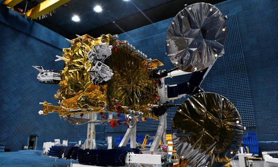
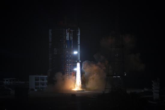
APSTAR-6E Communications Satellite Photo: (Photo/Courtesy of China Academy of Space Technology)
China’s space technology was deeply applied in the country’s various industries in 2022, forming an all-weather remote sensing monitoring system for infrastructure including all sea areas and islands under its jurisdiction, the China Aerospace Science and Technology Corporation (CASC) said on Wednesday during the release of the Blue Book of China Aerospace Science and Technology Activities.
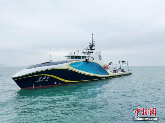
China has developed a series of satellites for ocean color, marine dynamics and surveillance, which have formed the capability of continuously and frequently covering observations of global waters, and have achieved remarkable results in applications in areas including island management, marine resource investigation and supervision, marine environmental monitoring and forecasting.
In 2022, China's marine satellites continued to carry out remote sensing inspections of key islands and reefs. In particular, they strengthened monitoring of the waters around Huangyan Island, Diaoyu Island and all the islands of Xisha, Zhongsha and Nansha Islands, providing important data support for the management of sea areas and comprehensive management of the islands.
China's marine satellites also continued to carry out remote sensing detection of key islands and reefs in 2022, in particular strengthening the monitoring of the waters around Huangyan Island, Diaoyu Island, as well as the Xisha, Zhongsha and Nansha Islands, providing a significant basis for the utilization of waters and coastal islands, the report noted.
In addition, China’s marine satellites are also carrying out global ocean observation and forecasting, providing services for global marine dynamic environment monitoring, marine forecasting and disaster monitoring, as well as remote sensing monitoring of global sea level changes.
China's marine satellites have successfully provided important data and technical support for monitoring and warnings for fires, typhoons and storm surges at home and abroad.
Lin Mingsen, director of the National Satellite Ocean Application Service, said China will further strengthen the integration of artificial intelligence, big data and other technologies with satellite remote sensing systems, so as to provide high-quality marine satellite public service products and promote the level of marine management in China.


 京公网安备 11010202009201号