


Typhoon Kompasu, the 18th of this year, is forecast to bring strong winds and rain to southern parts of China.
Kompasu was observed in the northeastern part of the South China Sea at around 10 a.m. Tuesday, about 910 km east of Wanning City, Hainan Province, packing winds with a speed up to 90 km per hour at its center, according to the provincial meteorological administration.
It will move westward at a speed of about 28 km per hour toward the island province. The provincial flood, wind and drought control headquarters has upgraded its emergency response to level-III at 9:30 a.m. Tuesday.
The provincial meteorological authority said that the typhoon is expected to make landfall in the coastal areas from Wenchang City to Lingshui Li Autonomous County from the afternoon to the night on Wednesday.
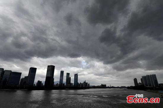
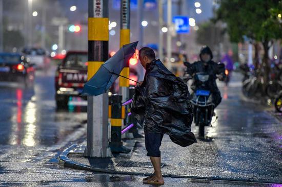
Affected by both the typhoon and cold air, Hainan as well as the eastern and southern parts of Guangdong Province will be hit by heavy rain.
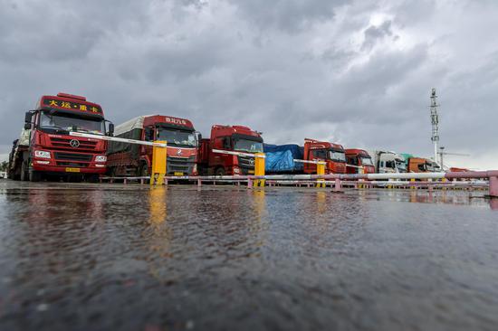
So far, three ports in Haikou, the capital of Hainan, have suspended operation. Fishing boats have been called to return to port and outdoor activities have been halted.
The provincial emergency management department said the typhoon will bring serious impact to Hainan's agriculture. Enditem


 京公网安备 11010202009201号