


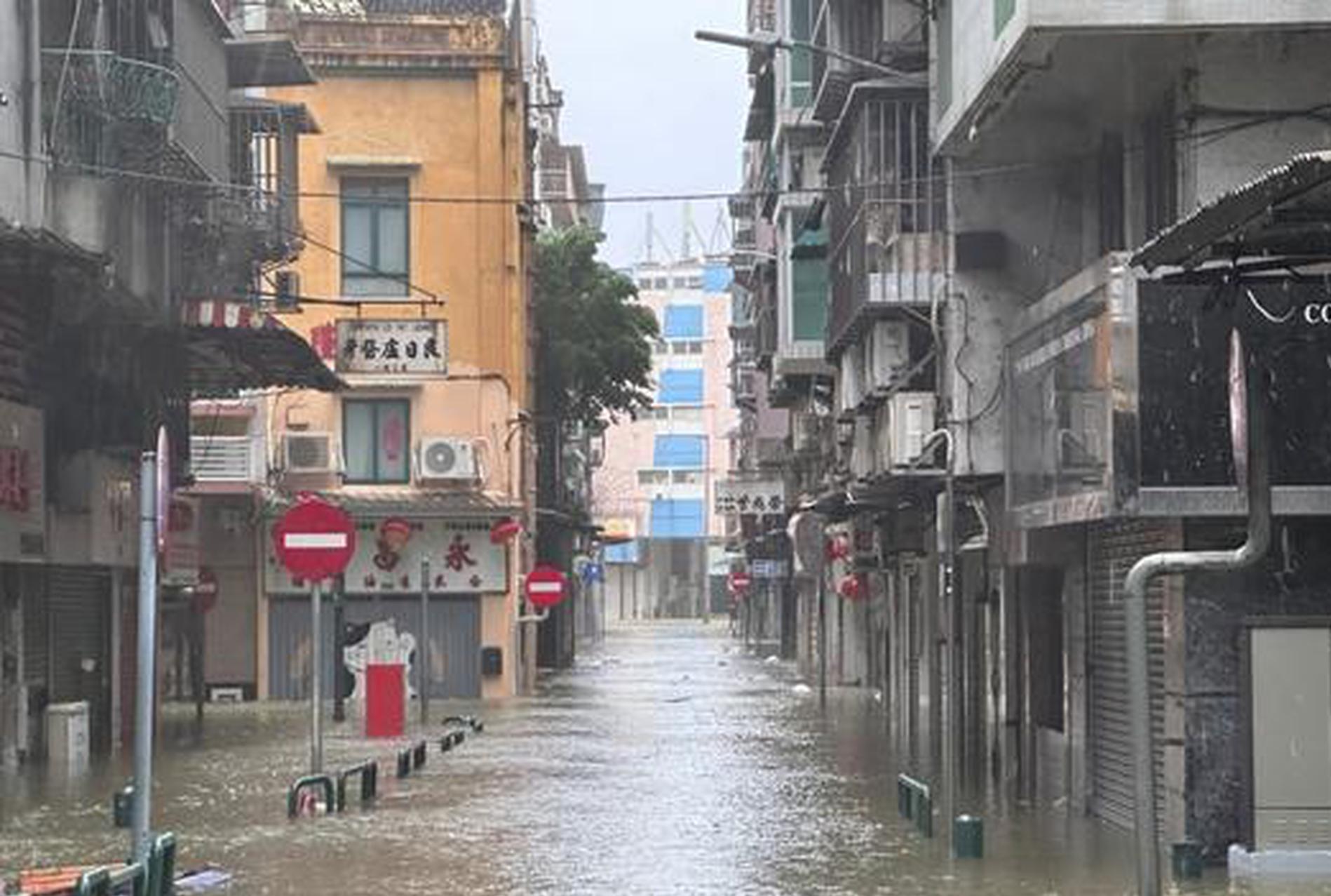
The National Meteorological Center (NMC) issued a red alert for Typhoon Matmo at 6 a.m. Sunday, the highest level in its four-tier alert system, as the year's 21st typhoon strengthened into a severe typhoon early in the morning.
The storm is moving northwest at 20 to 25 kilometers per hour and is expected to make landfall around midday along the coast between Wuchuan in Guangdong Province and Wenchang in Hainan Province as a severe typhoon, with maximum winds of Category 14 (42-45 meters per second). Its intensity is forecast to gradually weaken after landfall.
Local authorities in Guangdong raised the emergency typhoon response to Level I – the highest alert level – at 8 a.m. Sunday.
Waves of 6 to 10 meters are expected in the northwestern part of the South China Sea from Sunday morning to Monday morning. China's National Marine Environmental Forecasting Center issued a red alert on Sunday morning for storm surges and high waves.
As of 5 a.m. Sunday, the center of Typhoon Matmo was located over the northwestern part of the South China Sea, about 230 km southeast of Xuwen County in Guangdong, with maximum winds of Category 14 (42 meters per second) and a central pressure of 955 hectopascals (hPa).
From 8 a.m. Sunday to 8 a.m. Monday, strong gales of Category 6-8, with gusts up to Category 9-10, are expected across most parts of southern China. In some sea areas and regions, winds may reach Category 12-14, with gusts up to Category 15-16.
The NMC also issued an orange alert for heavy rain, forecasting heavy to torrential rainfall from 8 a.m. Sunday to 8 a.m. Monday across most parts of Hainan, southwestern Guangdong, and southern Guangxi, with some areas likely to see extremely heavy rainfall of 250-320 millimeters.


 京公网安备 11010202009201号