


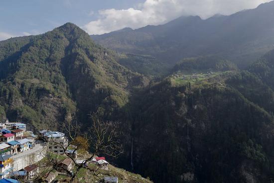
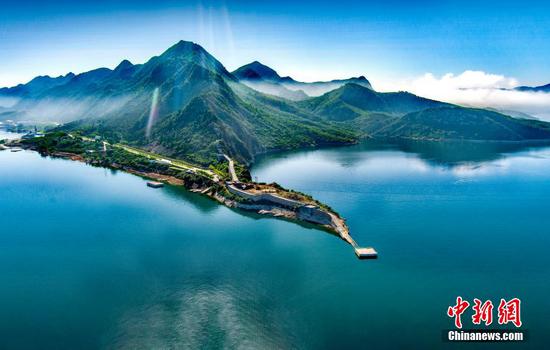
Photo taken on April 13, 2022 shows Zhentang Township besieged by primitive forests at the foot of Qomolangma deep in the Himalayas, in Dinggye County of Xigaze, southwest China's Tibet Autonomous Region. (Xinhua/Liu Ying)
Chinese researchers have used 30-meter resolution satellite tree-cover data to map the realized range limit of trees in a length of 2,400 meters along the Himalayas, which harbors one of the world's richest alpine endemic flora.
The thermal tree line is the potential upper range limit set by growing-season temperatures, according to the research article published in the journal Nature Ecology and Revolution. It is widely regarded as an indicator and record carrier of rapid climate warming in high-altitude areas.
The researchers from the Institute of Tibetan Plateau Research, the Chinese Academy of Sciences, also found that the realized range limit of trees is about 800 meters higher in the eastern Himalayas than in the western and central Himalayas.
Trees had reached their thermal treeline positions in more than 80 percent of the cases over the eastern Himalayas but are absent from the treeline position in western and central Himalayas.
The research predicts that trees will migrate upslope by about 140 meters by the end of the 21st century in the eastern Himalayas.


 京公网安备 11010202009201号