


Mountain heights can now be calculated with a far greater degree of accuracy thanks to the use of improved measuring equipment, global satellite navigation, and remote sensing technology. (Photo/CHINA DAILY)
Natural forces play significant role in reduced elevations
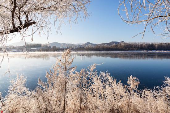
Mountain peaks, with their majestic beauty, have long fascinated adventurers and scientists alike.
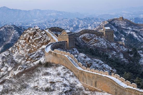
In China, Sichuan province boasts stunning and spectacular scenic areas that include snow mountains, glacial lakes, rivers and virgin forests.
Recently updated data relating to nine mountains in the province highlights changes witnessed by these peaks, and their causes.
Information about the heights of the nine peaks, which include Mount Gongga, Mount Siguniang, Mount Luoji and Mount Guangwu, was last updated some 60 years ago.
The new data, which was released by the Ministry of Natural Resources and the National Forestry and Grassland Administration, and which includes the height of the snow surface on the peaks, shows that most of the mountains have shrunk by several meters.
The height of Mount Gongga, which is known as the "King of Sichuan mountains" and is the highest peak in the province, has fallen by nearly 50 meters from 7,556 meters to 7508.9 meters.
Gui Muzheng, senior engineer at the Ministry of Natural Resources' Third Institute of Aerial Survey and Remote Sensing in Chengdu, capital of Sichuan, said: "That's quite a significant reduction. Due to earthquakes and other geological events in Sichuan, we need to provide accurate and up-to-date information to the government and the public for educational purposes and administrative planning.
"Compared with the 1960s, the accuracy of mountain peak elevation measurements has been enhanced with improved measuring equipment, global satellite navigation, and remote sensing technology," she said.
In addition, a number of natural factors play important roles in shaping mountain summits, including the impact of movement of the Earth's crust, climate change, and weathering, Gui added.
Sichuan, located on the southern edge of the Tibetan Plateau, is a particularly active tectonic zone, she said.
In recent years, the province has experienced significant earthquakes — including the 8.0 magnitude quake that hit Wenchuan county in 2008. Such events have altered the heights of these peaks.
Gui said the combined natural forces of wind and rainfall erode rocks and break down exposed surfaces. Over time, this can result in a reduced elevation of mountain peaks.
Climate change also plays a crucial role in shaping mountain summits, Gui said, adding that the retreat of glaciers and reduction in the thickness of snow cover contribute to changes in elevations.
A study by the provincial government, titled "Latest Investigation and Research on Modern Glacial Resources in Western Sichuan", found that the area of mountain glaciers in the province's western region fell by 22.1 percent from 1966 to 2020. Covering 593 square kilometers in 1966, the glaciers now occupy only 462 sq km.


 京公网安备 11010202009201号