


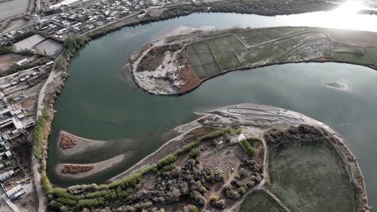
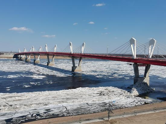
An aerial view of the Xuejiawa ecological park on the eastern shore of Yangtze River in Ma'anshan, Anhui province on June 29, 2021. (Photo by Zhang Mingwei/For chinadaily.com.cn)
A supervision platform supported by over 30 satellites has been put into operation, as China improves its conservation of crucial ecological zones with a red line mechanism, according to the Ministry of Ecology and Environment.
The platform "can automatically scan and identify local changes of the land surfaces, and monitor risks of ecological damage in a timely manner", Wang Zhibin, head of the ministry's nature and eco-conservation department, said at a news conference on Thursday.
With construction started in 2018, parts of the platform for the supervision of the red lines for ecological conservation have previously been put into use in accordance with the construction progress, he noted.
To date, he said, the platform has provided over 2,000 clues of environmental violations that have supported the country's major environmental protection actions, such as the high-profile central environmental inspection, the teams of which are headed by ministerial-level officials.
"It has essentially covered all nature protected zones, areas encircled by red lines for ecological conservation and other key ecological spaces," he added.
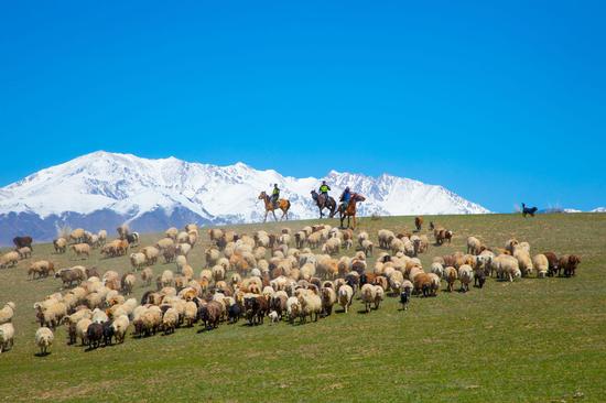
On Saturday, the Ministry of Natural Resources announced that the country has completed drawing red lines nationwide to identify the country's crucial ecological zones.
No less than 3.15 million square kilometers across the country, including over 30 percent of the country's total land area, have been demarcated within the red lines, it said.
The red lines cover areas that are critical in environmental function, ecologically sensitive and vulnerable, and vital for biodiversity.
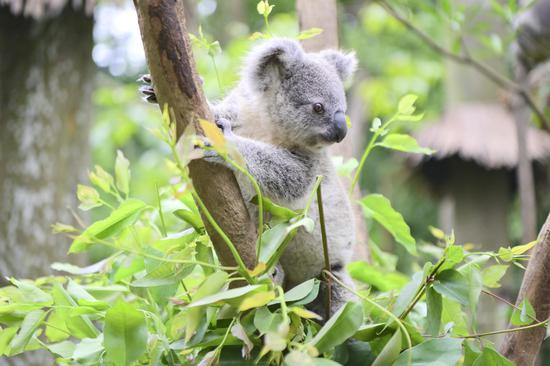
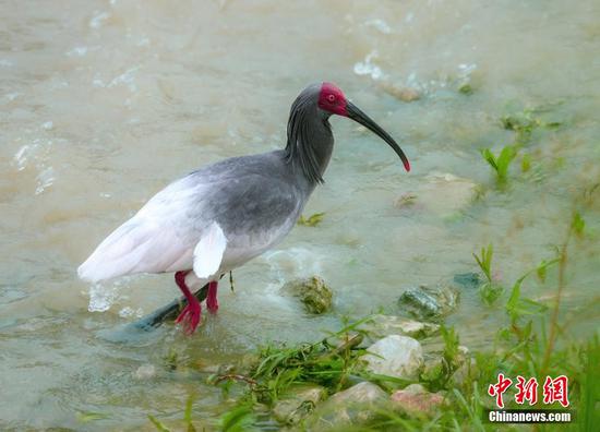
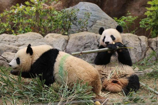
Wang said China has established a national biodiversity observation network to better understand the conditions of the country's biodiversity resources and their trends.
The network includes dedicated subnetworks for different types of ecosystems and species, including terrestrial vertebrates, insects and freshwater fish, he said.
The China Biodiversity Observation Network, the construction of which was launched in 2011 by the ministry, for example, has 749 designated plots for observation across the country, he said. In total, it has obtained 1.8 million pieces of observation information.
The China Biodiversity Monitoring and Research Network, which is run by the Chinese Academy of Sciences, includes the world's first forest biodiversity network that covers different latitude gradients. It also has Asia's largest real-time monitoring system and database for birds, he noted.


 京公网安备 11010202009201号