An exhibitor shows a drone for forest fire alert and monitoring during the 12th China Satellite Navigation Expo (CSNE) in Nanchang, capital of east China's Jiangxi Province, May 27, 2021. (Xinhua/Peng Zhaozhi)
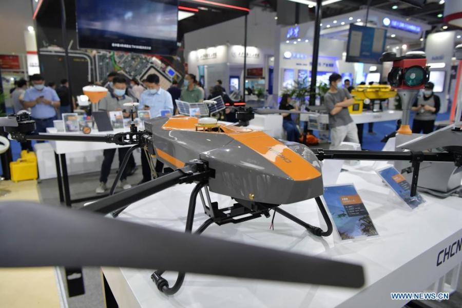
Photo taken on May 27, 2021 shows a drone for forest fire alert and monitoring during the 12th China Satellite Navigation Expo (CSNE) in Nanchang, capital of east China's Jiangxi Province. (Xinhua/Peng Zhaozhi)

Photo taken on May 27, 2021 shows a portable mobile emergency monitoring station based on the BeiDou Navigation Satellite System during the 12th China Satellite Navigation Expo (CSNE) in Nanchang, capital of east China's Jiangxi Province. (Xinhua/Peng Zhaozhi)
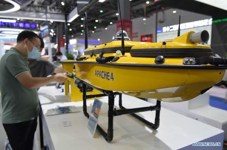
Visitors look at an unmanned boat during the 12th China Satellite Navigation Expo (CSNE) in Nanchang, capital of east China's Jiangxi Province, May 27, 2021. (Xinhua/Peng Zhaozhi)

Photo taken on May 27, 2021 shows an anti-jamming chip during the 12th China Satellite Navigation Expo (CSNE) in Nanchang, capital of east China's Jiangxi Province. (Xinhua/Peng Zhaozhi)

Photo taken on May 27, 2021 shows an intelligent unmanned sanitation vehicle during the 12th China Satellite Navigation Expo (CSNE) in Nanchang, capital of east China's Jiangxi Province. (Xinhua/Peng Zhaozhi)