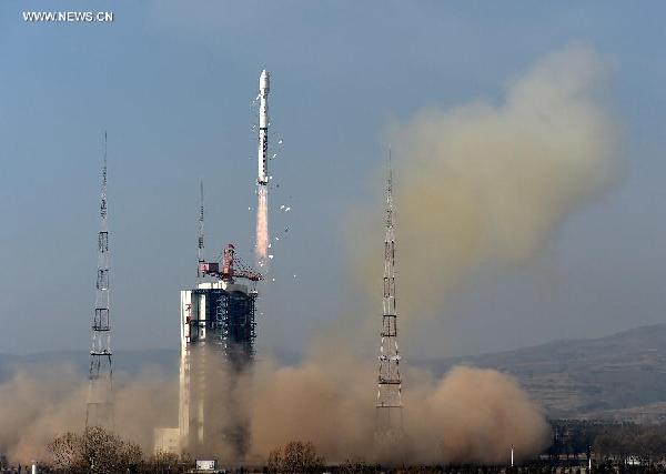

A Long March-4B rocket carrying the Yaogan-26 remote sensing satellite blasts off from the launch pad at the Taiyuan Satellite Launch Center in Taiyuan, capital of north China's Shanxi Province, Dec 27, 2014. Yaogan satellites are mainly used for scientific experiments, natural resource surveys, crop yield estimates and disaster relief. (Xinhua/Yan Yan)
China launched the Yaogan-26 remote sensing satellite into the preset orbit at 11:22 am on Saturday Beijing Time from the Taiyuan Satellite Launch Center in Northwest China's Shanxi province.
The satellite will mainly be used for scientific experiments, land surveys, crop yield estimates and disaster prevention.
It was carried by a Long March-4B rocket, marking the 202th mission for the Long March rocket family.
China launched the first satellite in the "Yaogan" series, Yaogan-1, in 2006.
Copyright ©1999-2018
Chinanews.com. All rights reserved.
Reproduction in whole or in part without permission is prohibited.